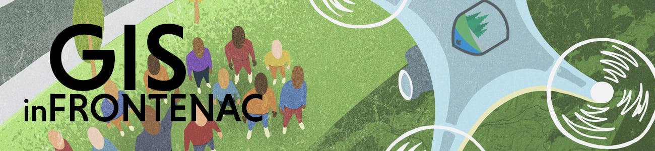
Geographic Information Systems (GIS) in Frontenac County
The Geographic Information Systems (GIS) industry is ever-changing and new innovations worthy of celebration are born every day. At Frontenac County, GIS is used to bring spatial solutions to staff and the public; this includes interactive mapping solutions, customized applications, printed cartographic products, analysis and maintenance of spatial data, and so much more.
Geographic Information Systems (GIS) is a way to handle and display information through digital maps. Local governments use GIS to manage and update property information, keep track of assets, and to help plan and make important decisions.
Interactive mapping
The County of Frontenac offers many options for finding your way or finding map based information.
Our Frontenac Maps portal offers interactive mapping tools that enable you to explore the County of Frontenac like never before. You can search streets, addresses and places of interest. You can view your property and find information about local services and features. It can help to answer questions you may have about specific areas or topics.
Map gallery and custom mapping
In addition to the interactive mapping you can also view our map gallery where you can download and print ready to use maps. The County of Frontenac also provides custom mapping services for unique and challenging projects. Whether you are looking for a simple map of your property to hang on the wall or a more detailed map we may be able to help. To discuss potential projects you can get in touch with our GIS staff.
-
GIS teams earns 2026 BeSpatial award

There are Frontenac Geographic Information Systems Specialists Robin Kwik and Anand Charvin with a new BeSpatial Best Open-Source GIS and Open Data Award at the BeInspired conference in Burlington, May 26.
The award is for “individuals or projects that make significant contributions to the development, promotion, or utilization of open-source geospatial technologies; especially for efforts fostering collaboration and accessibility through the use of open-source GIS tools that leverage open data.”
 Frontenac County GIS specialists, Robin Kwik and Anand Charvin with their 2026 BeSpatial Award, May 26.
Mr. Charvin and Ms. Kwik applied for and earned it for the Frontenac Open-SourceContinue reading -
Frontenac County GIS team earns BeSpatial award

There is the Frontenac County Geographic Information Systems (GIS) team – Anand Charvin, Kristy Elderhorst, and Robin Kwik – with a beautiful new 2025 BeSpatial Ontario Challenge Award for Best Small Organization.
 Anand Charvin, Kristy Elderhorst, and Robin KwikAwards in this category acknowledge the outstanding achievements of small organizations with up to three GIS staff who have showcased exceptional capabilities and impact in geospatial and information services, overcoming challenges posed by limited team size and resources.The award was received at the BeSpatial event in Hamilton, April 29.“The theme of the BeSpatial event was ‘Be Inspired’ and thatContinue reading
 -
New Frontenac Maps features to mark World GIS Day, November 20

The Geographic Information Systems (GIS) team at the County of Frontenac is pleased to announce the re-launch of the interactive mapping site, Frontenac Maps. The site is a valuable reference tool for municipal staff and members of the public that was first launched in 2010. It includes browsable geographic information specific to Frontenac County such as property lines, transportation routes, boundaries, and natural features. It also includes high-resolution imagery and elevation information that is customized for our region.

What’s new:
While long-time Frontenac Maps users will recognize the familiar look and feel, there are significant improvements in design, performanceContinue reading
-
Frontenac County proclaims GIS Day, November 20

Geographic Information Systems (GIS) Day is November 20, during Geography Awareness Week, November 18 - 22.
GIS is a way to handle and display information through digital maps. Local governments use GIS to manage and update property information, keep track of assets, and to help plan and make important decisions. At Frontenac County, GIS is used to bring spatial solutions to staff and the public including interactive mapping, customized applications, printed cartographic products, analysis and maintenance of spatial data, and so much more.
How on earth would we know who we are if we don't know where we are?
-
Frontenac Maps now includes highly accurate elevation data following joint LiDAR acquisition

This year the County of Frontenac, along with project partners, acquired LiDAR mapping for the region. This data product is now available to view as topographic contours on the Frontenac Maps interactive mapping site. Light Detection and Ranging (LiDAR) is a remote sensing technology that gathers detailed elevation data over a large geographic area and at a level of accuracy that will support efficient and informed decision making.
“The introduction of LiDAR mapping on Frontenac Maps now gives us the most accurate topographic mapping we have ever worked with and it covers all of the lands in Frontenac," says JoeContinue reading
-
Frontenac County Council proclaims GIS Day, 15 Nov 2023

Frontenac County Council has proclaimed November 15, 2023 GIS Day in Frontenac County.
Moved By:
Seconded By:
Councillor Lichty
Councillor Greenwood-Speers
Whereas Geography Awareness Week is November 13 – 17, 2023;
And Whereas International Geographic Information System (GIS) Day is November 15, 2023;
And Whereas Geography Awareness Week promotes GIS and geographic literacy;
And Whereas GIS is an important part of geography awareness;
And Whereas the County of Frontenac is committed to expanding GIS awareness throughout the County in order to showcase real-world applications with GIS.
Now Therefore Be It Resolved That the Council of the CountyContinue reading
-
FrontenacMaps.ca relaunched

There's new functionality, new mapping resources, and a whole new selection of useful open data available now on the newly redesigned FrontenacMaps.ca.
The site, originally launched in 2010, is the public-facing information portal for the Frontenac County Geographic Information Systems (GIS) Department. GIS offers services including interactive mapping solutions, customized applications, printed cartographic products, and analysis and maintenance of spatial data to clients both in-house and external. It's work that helps people to precisely understand and visualize the geography and geographic boundaries in Frontenac.

The new site is on the ArcGIS platform by internationally renowned GIS software system developerContinue reading
-
Frontenac County Council proclaims GIS day 2022

Frontenac County Council voted at its October 19 regular meeting to proclaim November 16 GIS day in Frontenac. See the agenda from that meeting HERE.
The proclamation reads:
Whereas Geography Awareness Week is November 14 - 18, 2022;
And Whereas International Geographic Information System (GIS) Day is November 16, 2022;
And Whereas Geography Awareness Week promotes GIS and geographic literacy;
And Whereas GIS is an important part of geography awareness;
And Whereas the County of Frontenac is committed to expanding GIS awareness throughout the County in order to showcase real-world applications of GIS.
Now Therefore Be It Resolved ThatContinue reading


Custom

The GEO Information Hub is the Frontenac County Geographic Information Systems (GIS) Department's public-facing information portal. Click HERE to read all about it, then see it at FrontenacMaps.ca.
Watch: What is GIS?
-
 GIS refers to a variety of computer-based systems that manage, manipulate, and analyze geographically-referenced data. Local governments have used GIS for years to manage and update property information, emergency operations, infrastructure, and environmental resources. Check out the Geospatial Revolution video below to better understand the power of this important technology and the role it plays in everyday life:
Who's Listening
-

-

Email rkwik@frontenaccounty.ca -